The Virginia GeoCoin Adventure
If you have access to a GPS and a geocoin, you are ready for the Virginia GeoCoin Adventure. Place a geocoin in a hidden cache, then track its movements over time.
Learning lessons help students explore landscapes and issues affecting our communities, using the trackable geocoins as their guide. The lessons and other resources support an array of learner groups, from middle and high school classrooms to 4-H clubs and scout troops.
Don't have a trackable geocoin? Request one here. Otherwise, you can complete the exercises with your own geocoin (or trackable item), or by following other geocoins already in circulation.
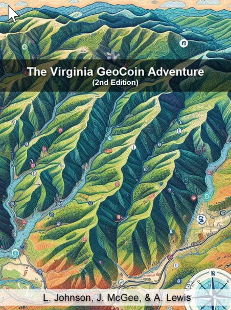
The full guide is now a free book: The Virginia GeoCoin Adventure (Johnson, McGee & Lewis, 2025, PressBooks).
Getting started
-
GeoCoin Adventure: Getting Started Guide
All the instructions you'll need to start your own Virginia GeoCoin Adventure with your group.
- GeoCoin Adventure: Getting Started (earlier version)
-
Geocaching overview
A presentation that gives an overview of geocaching, trackable items, etc.
-
GPS Manual for Natural Resource Educators (Garmin)
Basic instructions for operating a Garmin GPS receiver. Developed for natural resource educators, but also useful for teachers and recreational enthusiasts.
Learning lessons
-
Watershed Wanderings
Use the travels of your Virginia geocoin to assess the impacts of a potential large poultry farm on water quality, and learn about nonpoint source pollution and the movement of water through watersheds.
-
Land Use Land Cover
Explore differences in land use and land cover using the travels of your geocoin and Google Earth.
-
Landscape Ecology
Learn about specific types of landscape change caused by development, and search for examples along your geocoin's travels.
-
Gypsy Moth
Imagine your geocoin is a mass of gypsy moth eggs. See where it traveled and learn about the potential spread of the moth using Google Earth.