


Virginia Tech · Since 2003
Remote sensing and geospatial education for Virginia's communities
Hands-on drone and mapping workshops, professional development for teachers, and free books, tutorials, and videos.
VirginiaView is a member of AmericaView, a nationwide consortium of remote sensing scientists and educators. Based at Virginia Tech's College of Natural Resources and Environment since 2003, we run workshops, train teachers, and publish free books, tutorials, and videos.
Next workshop Remote Pilot Certification Test Prep Nov 17–18, 2026
Schedule
2026–2027
Upcoming workshops and events
| Dates | Workshop or event | Where | Cost | Register |
|---|---|---|---|---|
| Nov 17–18, 2026 Registration is closed | Remote Pilot Certification Test Prep | Virtual (Zoom), 2 days | $300 educators, students, Extension · $400 others | |
| Dec 4, 2026 Register by Dec 2 | Changes to the FAA Remote Pilot Knowledge Exam – 2026 | Virtual (Zoom), 6:30–7:30 pm | Free | Register |
| Dec 10, 2026 Register by Dec 8 | Esri's Business Analyst: Feeding Communities through Mapping Solutions | Virtual (Zoom), 1:00–5:00 pm | Free | Register |
| Dec 17, 2026 Register by Dec 15 | Esri's Business Analyst: Feeding Communities through Mapping Solutions | Virtual (Zoom), 1:00–5:00 pm | Free | Register |
| Jan 14–15, 2027 | Remote Pilot Certification Test Prep | Virtual (Zoom), 2 days | $300 educators, students, Extension · $400 others | Register |
| Jan 21, 2027 Tentative, pending speaker · Register by Jan 19 | Agricultural Application Drones in 2027 | Virtual (Zoom), 6:30–7:30 pm | Free | Register |
| Feb 16–17, 2027 | Remote Pilot Certification Test Prep | Virtual (Zoom), 2 days | $300 educators, students, Extension · $400 others | Register |
| Mar 10–11, 2027 | Remote Pilot Certification Test Prep | Virtual (Zoom), 2 days | $300 educators, students, Extension · $400 others | Register |
| Mar 17, 2027 Register by Mar 15 | Thermal Sensors in Agriculture | Virtual (Zoom), 6:30–7:30 pm | Free | Register |
| Apr 9, 2027 | Virginia Tech OGIS Research Symposium | VT Library Multipurpose Room | Student poster and web map app prizes | |
| May 24–26, 2027 | Agricultural Mapping with Drones: ADVANCE Institute Teacher Workshop | Blacksburg, face-to-face, 3 days | Free | Register |
Registration for each Remote Pilot Certification Test Prep workshop typically closes about one month before it begins, to allow time to mail workshop materials. Questions: John McGee (jmcg@vt.edu) or Daniel Cross (falkus@vt.edu).
For teachers
USDA NIFA
ADVANCE: drones and precision agriculture in your classroom
An Experiential and Data-driven Approach to Agricultural Education (ADVANCE) is a face-to-face professional development program that gives educators the knowledge, experience, curriculum resources, supplies, and mentoring to bring drones and precision agriculture into the classroom. Participants finish FAA Remote Pilot certified and experienced with a complete drone-mapping workflow.
- Who
- Middle and high school educators and 2-year college faculty teaching STEM courses. CTE teachers are encouraged to apply.
- Covered
- Food and lodging at the Virginia Tech institute, a stipend of at least $1,200, a $2,200 classroom mini-grant, and Remote Pilot test prep and testing fees.
Data · Landsat
It takes 15 Landsat scenes to cover Virginia
Landsat satellites record the Earth in a fixed grid of scenes. Each scene has a path and a row: paths follow the satellite's track and are numbered from east to west. Virginia falls across six paths and three rows, 15 scenes in all. Where neighboring scenes overlap, the map is darker.
Download scenes from USGS EarthExplorer or GloVis. More sources are on the data page.
Resources
Free to use
Books, tutorials, and videos
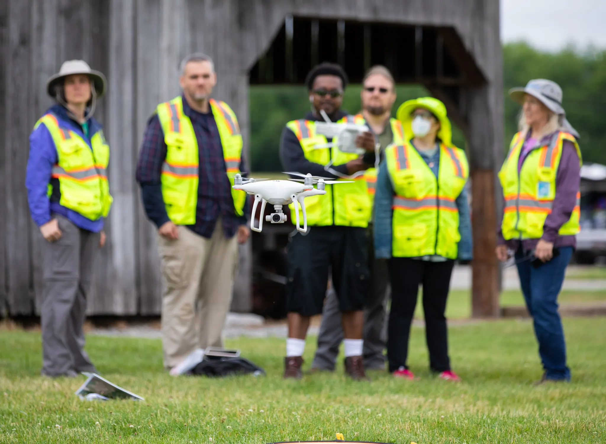
Our remote sensing tutorial books are free through PressBooks and Kindle Unlimited (otherwise, eBooks are $3.99). Hardcopy books are available through Amazon. Data for the exercises is free to download.
-
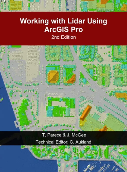 Working with Lidar using ArcGIS Pro (2nd ed.)
Parece, McGee & Aukland, 2025 · 499 pp.
-
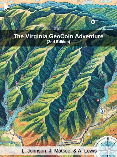 The Virginia GeoCoin Adventure
Johnson, McGee & Lewis, 2025 · 70 pp.
-
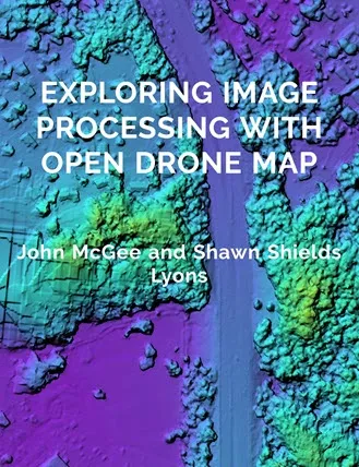 Exploring Image Processing with Open Drone Map
McGee & Shields Lyons, 2024 · 57 pp.
-
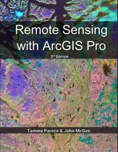 Remote Sensing with ArcGIS Pro (2nd ed.)
Parece & McGee, 2023 · 526 pp.
-
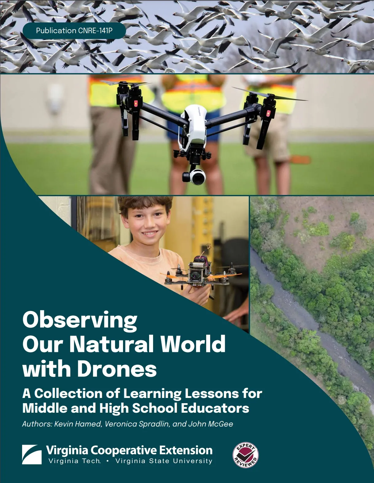 Observing Our Natural World with Drones
Hamed, Spradlin & McGee, 2023 · 62 pp.
All books, chapters, and publications
Everything else
- Tutorials Drone, GPS and software guides
- Precision agriculture, manual flight drills, Teaching with Topos, Google Earth Pro.
- Video tutorials 8 playlists
- ArcGIS remote sensing and lidar, mapping with drones, aeronautical charts.
- Data sources Imagery, lidar, soils
- Where to download Landsat, NAIP, lidar and Virginia base mapping data.
- Software & apps Free and licensed
- GIS, image processing, flight planning and field apps.
- Drone operations 5 check sheets
- Battery, flight and maintenance logs; flying on the VT campus.
- GeoCoin Adventure 4 activities
- Track a geocoin and explore watersheds, land use and landscape change.
- More resources Apps, posters, videos
- Landsat Explorer, Earth Observation Day, the Virginia Landsat poster.
News
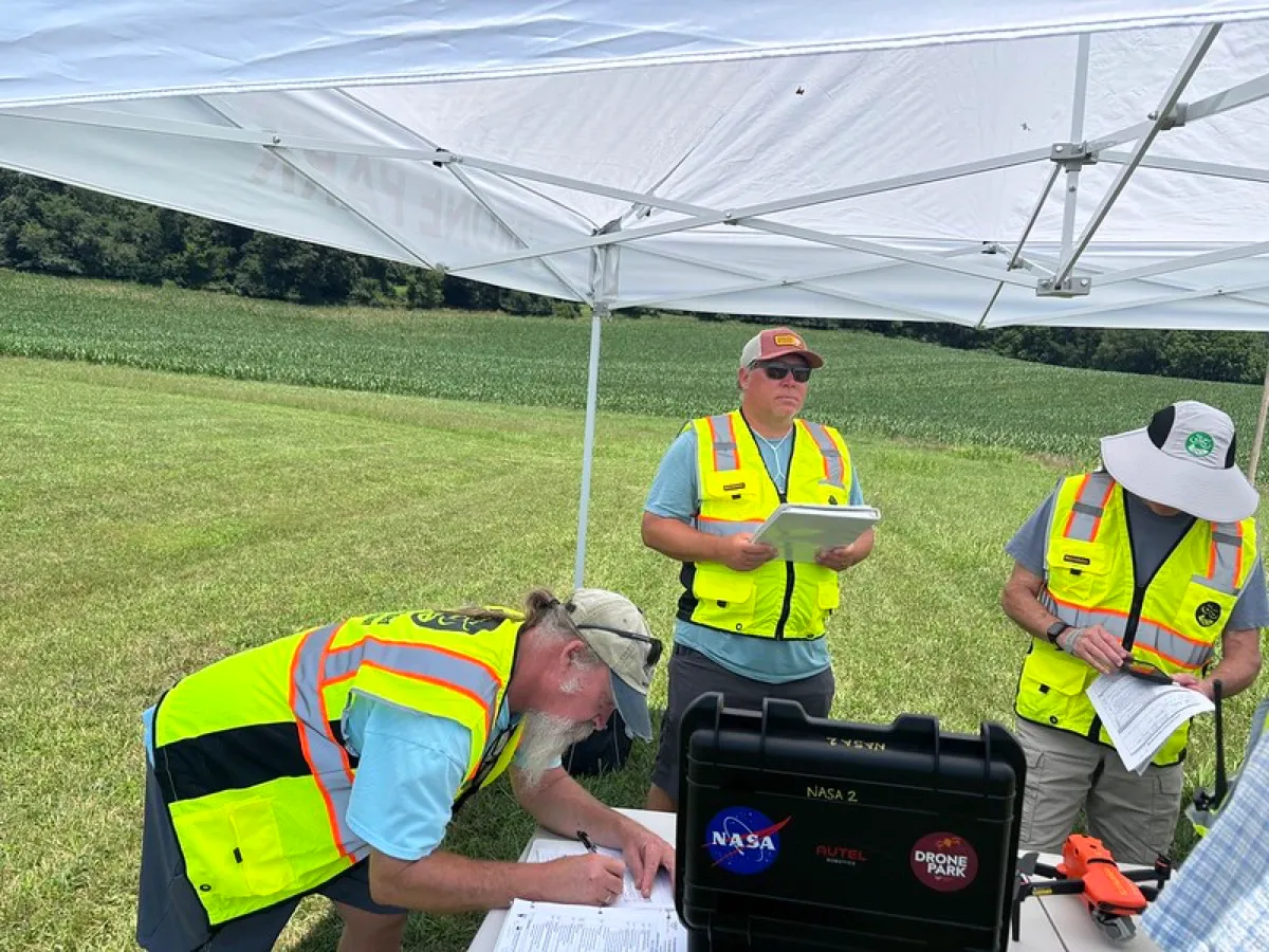
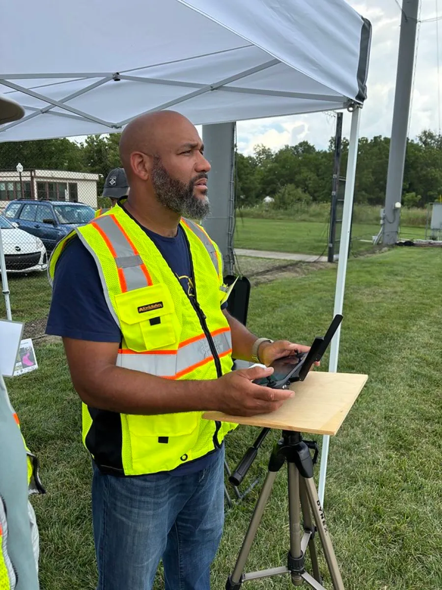
Photos
Flickr
Photo albums
About
Who we are
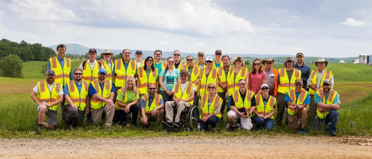
Through its programming, VirginiaView facilitates remote sensing and related geospatial education and workforce development in support of Virginia's communities. We work with public, private, and non-profit organizations and with middle school, high school, community college, and 4-year college communities. Through our partnership with Virginia Cooperative Extension, our programs reach stakeholders across the Commonwealth.
Our base is the Virginia Tech campus in Blacksburg, which sits in a valley between long ridges of the Appalachian Valley and Ridge. The map shows that landscape, drawn from USGS elevation data.
-

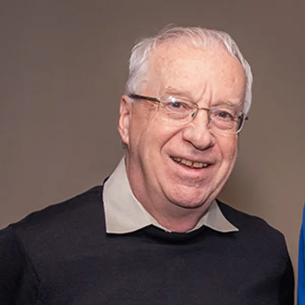
John McGee, Ph.D.
Professor & Geospatial Extension Specialist; VirginiaView Coordinator
jmcg@vt.edu · (540) 231-2428
-
-
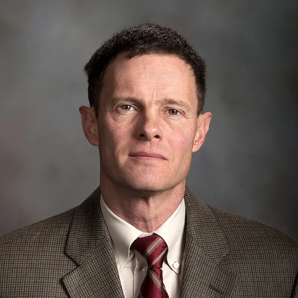
Randolph Wynne, Ph.D.
Professor, Department of Forest Resources & Environmental Conservation
wynne@vt.edu · (540) 231-7811