Virginia Tech OGIS Research Symposium
Let's celebrate Earth Observation Day. Share your geospatial analysis, related internship experiences, geospatial course projects, maps, and other creative endeavors with the broader community at the 2027 Virginia Tech Office of GIS and Remote Sensing (OGIS) Symposium.
At a glance
- When
- April 9, 2027
- Where
- Virginia Tech Library, Multipurpose Room (1st floor)
- Prizes
- Undergraduate and graduate categories: $400, $300, $200
- Questions
- Imma Mwanja or John McGee
Call for abstracts
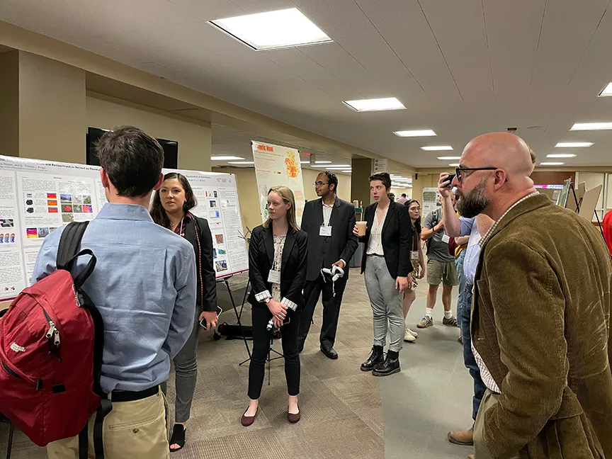
The Student GIS and Remote Sensing Poster and Web Map App Competition and Showcase gives students the opportunity to share and present their creative talents, network with their peers and professionals, and potentially earn cash prizes in the process, in both undergraduate and graduate categories. Each symposium opens with a keynote presentation, followed by the poster and web map app showcase.
Poster abstracts and presentations
- Presenters should plan to share their posters in a face-to-face format during the poster session.
- Accepted poster abstracts will be archived on the Virginia Tech Office of GIS and Remote Sensing website.
- The symposium will include presentations from experts in the field and the student poster presentations.
Prizes, provided through VirginiaView
- First prize
- $400
- Second prize
- $300
- Third prize
- $200
Prizes are awarded in both undergraduate and graduate categories.
The Virginia Tech OGIS Symposium is co-hosted by VirginiaView, through VT CNRE and the Virginia Tech Library. Please address questions to Imma Mwanja (imma@vt.edu) or John McGee (jmcg@vt.edu).